A single cold blast is weather, not climate, and the arrival of Antarctic air in spring is a familiar pattern in southern Australia.
A weather system carrying cold air north from towards Antarctica has brought springtime snow to alpine regions and a sharp chill across south-eastern Australia, according to the Guardian. The Bureau of Meteorology said the system, combined with south-westerly winds, made apparent temperatures markedly cooler than forecast maximums. At midday, Adelaide, Melbourne, Hobart, Canberra and Sydney all recorded temperatures that felt cooler than 13C.
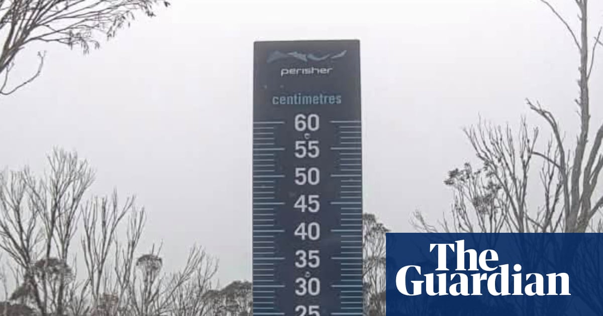
The reported figures illustrate the gap between the thermometer and the body. Adelaide had the highest maximum of that group at 17.5C, which felt like 12.3C, while Canberra was the coldest, with a maximum of 12.9C that felt like 5.3C. The cold was far from universal: Brisbane, Perth and Darwin were all enjoying temperatures in the twenties or thirties, the Guardian reports. Snow fell in the alpine areas of Victoria and Tasmania, including Thredbo, Perisher and Mount Hotham.
The chill is expected to be brief. Warmer temperatures are forecast for Monday, and all capital cities are expected to reach at least 20C by Tuesday, according to the report. That would make this one of the last cold snaps of the year. The Bureau, along with the UN and other bodies, has warned about the likely impacts of what the report describes as a "jaw dropping" supercharged El Niño.
The juxtaposition matters. A single cold blast is weather, not climate, and the arrival of Antarctic air in spring is a familiar pattern in southern Australia. But the forecast shift from a wintry weekend to widespread warmth within days points to the volatility that forecasters associate with a strong El Niño cycle. For households and businesses, the practical questions are about energy demand, which swings sharply between heating and cooling, and about agriculture, where late frosts can damage crops even as the wider seasonal outlook turns hotter and drier.
What is not yet known is how severe this El Niño will prove, how long it will persist, and which regions will bear the brunt. The report gives no figures on snow depth, no detail on the timing or scale of the warming, and no specific warnings beyond the general caution from the Bureau and international bodies. Officials quoted by the Guardian attributed the immediate chill to the cold air mass and winds rather than to any longer-term trend.
The measured reading is that Australia is experiencing a sharp but short-lived cold episode against a background of expected warming. The two can coexist, and the coming weeks will show whether the promised warmth arrives on schedule and whether the El Niño develops as warned.