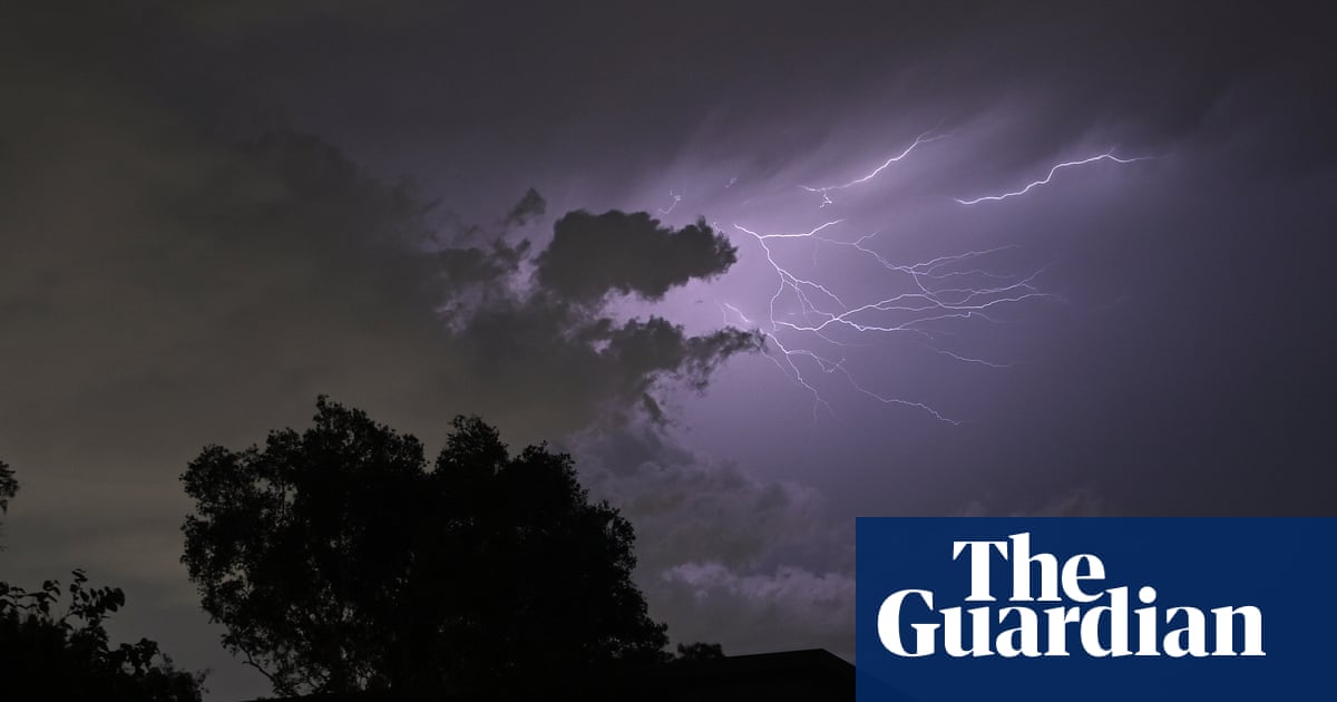
A southerly change pushing up the New South Wales coast, describing it as "a potential trigger for these supercell high-end thunderstorms".
Australia's east coast is braced for a weekend of violent weather, with the Bureau of Meteorology forecasting severe thunderstorms across New South Wales and into southern Queensland. According to the Guardian, storms could bring hail with a diameter greater than 5cm and winds in excess of 120km/h. A meteorologist named Scully, quoted in the report, attributed the conditions to a southerly change pushing up the New South Wales coast, describing it as "a potential trigger for these supercell high-end thunderstorms".
The severity is not uniform. A broader area of New South Wales, extending down towards the inland parts of the ranges east of Sydney and pushing into south-east and central Queensland, was told to expect storms with 2cm hail, wind gusts above 90km/h, heavy rainfall and flash flooding on Sunday. Sydney itself was expected to see storms, though likely less severe than those further north, with rain likely and a forecast top of 23C. Brisbane was expecting showers and thunderstorms with a top of 31C. The bureau expected to issue further severe weather warnings throughout Sunday as the storms developed.
The focus shifts north on Monday. The risk of high-end severe thunderstorms was forecast to move into the northern rivers of New South Wales and south-eastern Queensland, including Brisbane, the Gold Coast and the Sunshine Coast, again with the potential for giant hail, destructive winds and intense rain that could lead to life-threatening flash flooding. Scully linked this to the same trough pushing up the coast, combined with the very humid conditions eastern Australia has experienced in recent days.
A further complication is a coastal trough with a low-pressure system that appeared to be developing off the north coast of New South Wales near the Queensland border. According to the report, this had the potential to bring even more rain onto the coast. Scully cautioned that accumulated rainfall depends heavily on how close the trough sits to the coast and how long it lingers. Moderate totals of 30mm to 70mm were expected during Monday from that trough, easing into Tuesday morning, but the forecaster noted that rainfall associated with coastal troughs is notoriously challenging to predict, and that a small shift closer to the coast can sometimes release a great deal of rain.
Elsewhere the picture was calmer. Melbourne expected showers and a top of 17C, Hobart a high chance of showers at 13C, Adelaide cloud at 20C, Canberra partly cloudy at 24C, Perth partly cloudy at 28C and Darwin 34C with an afternoon storm. What is not yet known is how the supercells will track in detail, how much rain the coastal trough will ultimately deliver, and whether the warnings issued on Sunday will escalate. The bureau's advice, as reported, is that conditions are being watched closely.